A management system that helps the state to manage her land in an organized and digitized manner.
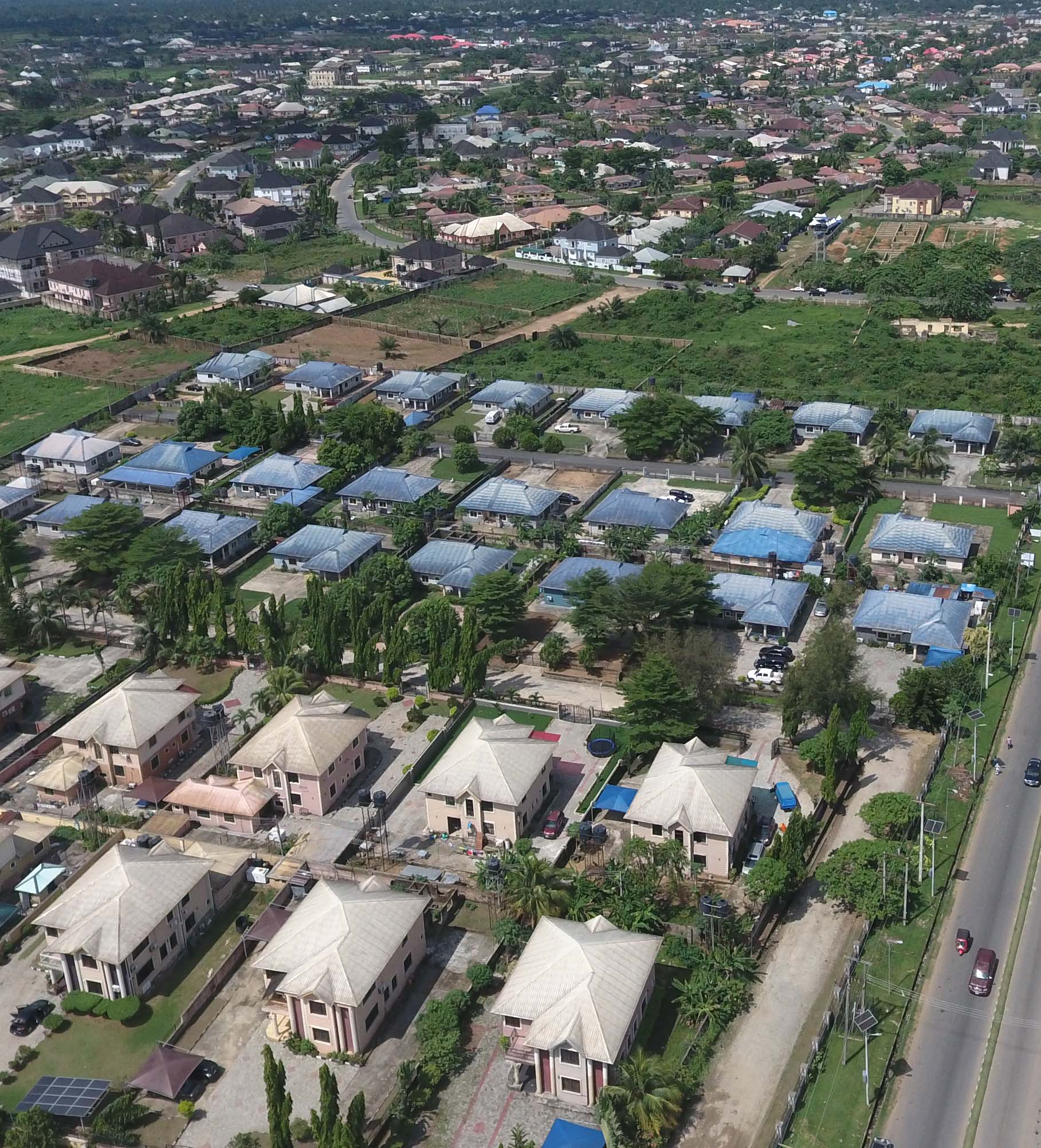

AkwaGIS is designed to benefit both the local land owners and the government inorder to eliminate theft, fraud and encroachment on landed properties.
With it, just a click can make you know a land's owner, the hectare, square metre, the history behind such land and whether it belongs to a government reserved area or not.
 Improve customer experience
No 3rd Parties, No Hassles
Digitalized copies of land document
Submit your application from the comfort of your location with the necessary attachment.
Make requested payment for your application with a debit card/bank deposit.
Receive notification on different stages of your application with visualization.
Improve customer experience
No 3rd Parties, No Hassles
Digitalized copies of land document
Submit your application from the comfort of your location with the necessary attachment.
Make requested payment for your application with a debit card/bank deposit.
Receive notification on different stages of your application with visualization.